| On this page |
Polygon Modeling 
-
New
 Walk on Surface SOP allows you to trace curves on surfaces starting from a collection of points and directions. It can also trace streamlines of vectors fields.
-
New
 Curve Animate SOP lets you interactively draw and animate Bézier curves using tools similar to 2D illustration programs, as well as polylines and NURBS.
-
New
 UV Relax SOP allows you to improve the quality of UV maps by minimizing their distortion. The tool also untangles the mesh to resolve UV backfaces.
 -
 Quad Remesh SOP improvements:
-
New Rectangular mode that further optimizes the smoothness and layout of edge flows.
-
New options for smoothing the guiding frame field.
-
Supports specifying a minimum quad count per connected component that adapts to models with many small components.
-
-
 Attribute Copy SOP now respects vertex group order when copying point and primitive attributes.
 -
 Remesh SOP has a new Boundary Deviation parameter.
 -
 Shot Sculpt SOP can now deform guide geometry and manage these edits over time. This is useful for grooming workflows.
 -
 Scatter SOP now allows both a density attribute and a density texture for masking when scattering points by density or in texture space.
 -
 Find Shortest Path SOP has been verbified.
 -
 Extrude Volume SOP is now compilable.
 -
 Attribute from Volume SOP and
  Convert HeightField SOP now has utilities to support vector volumes.
 -
Support for implicit surfaces as geometry primitives.
General modeling 
-
Subdivision surfaces now support interactive editing in the viewport.
-
New
osd_limitcurvature,osd_limitnormal,osd_limitvertex,osd_limitgradient, andvertexprimuvVEX functions.
-
Extended the adhoc attribute group syntax to support point and primitive numbers with
@ptnumand@primnum, and with the more general@elemnum. -
Snapping options now have a toggle to turn off snapping to drawables.
-
Improved performance of copying geometry which contains a string attribute with a large number of unique strings.
-
New view state options Pan Using Last Home Location and Pan Using Geometry under Mouse that allows you to switch between panning based on last home distance heuristics and panning using the geometry under the mouse.
-
You can now create lightweight collision objects, simulation domains, and source volumes with new implicit surfaces.
Terrains 
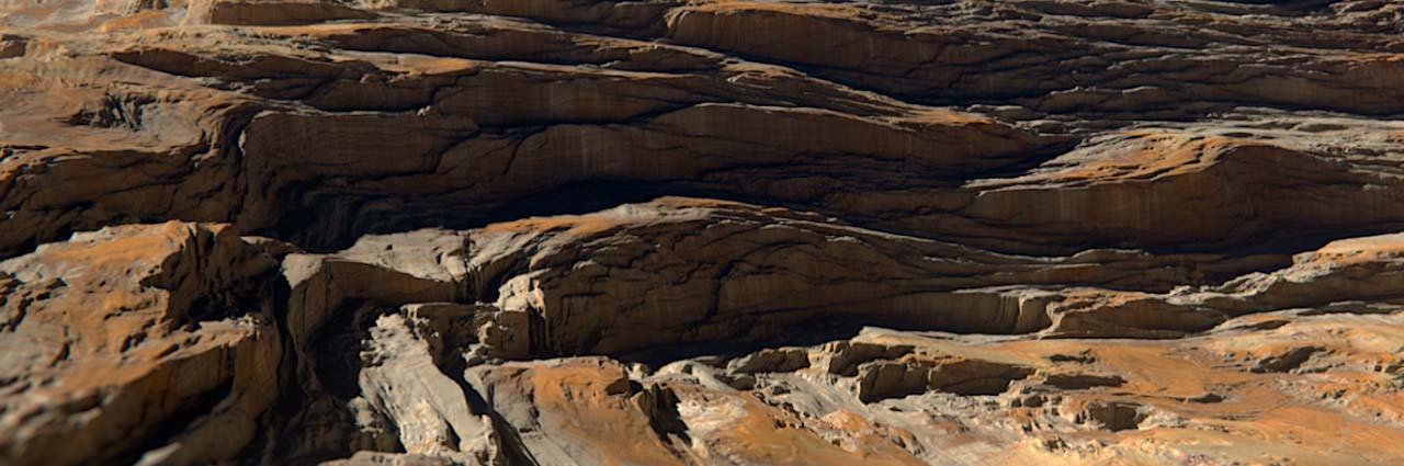
Terrains can be modeled and textured in Copernicus (COP) networks. See Copernicus heightfields and terrains for how to build terrains using the new heightfield COP tools.
-
The following ⇥ Tab menu tool scripts configure existing nodes for terrain creation:
-
The
 HeightField COP Network SOP tool configures the Default Canvas of the Copernicus network to be suitable for terrain generation. This changes the default size and orientation of COP layers.
 -
The
 HeightField COP tool creates an initial heightfield layer.
 -
The
 HeightField Noise COP tool generates vertical noise to create conventional terrain shapes.
 -
The
 HeightField Blur COP tool smoothens the terrain.
-
-
The
 HeightField Strata COP adds sedimentary layering patterns to the terrain.
 -
The
 HeightField Terrace COP creates stepped plains from the slopes of a heightfield.
 -
The
 HeightField Mask by Feature COP creates masks from terrain structures.
 -
The
 HeightField Erode COP creates a realistic terrain by simulating hydraulic and thermal erosion.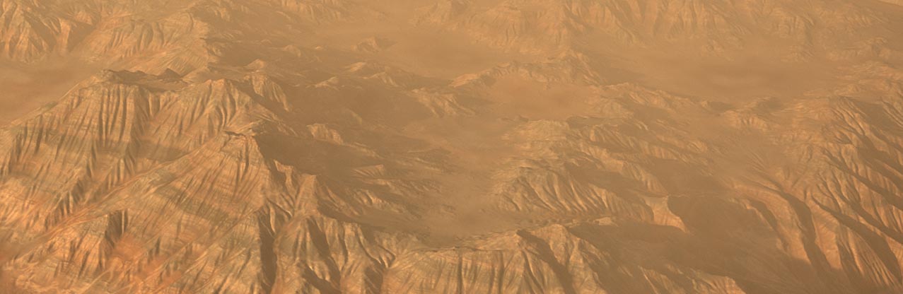
-
The
 HeightField Slump COP simulates loose material sliding down inclines and piling at the bottom. The HeightField Flow Field COP ⇥ Tab menu tool script sets the node parameters for generating flow fields.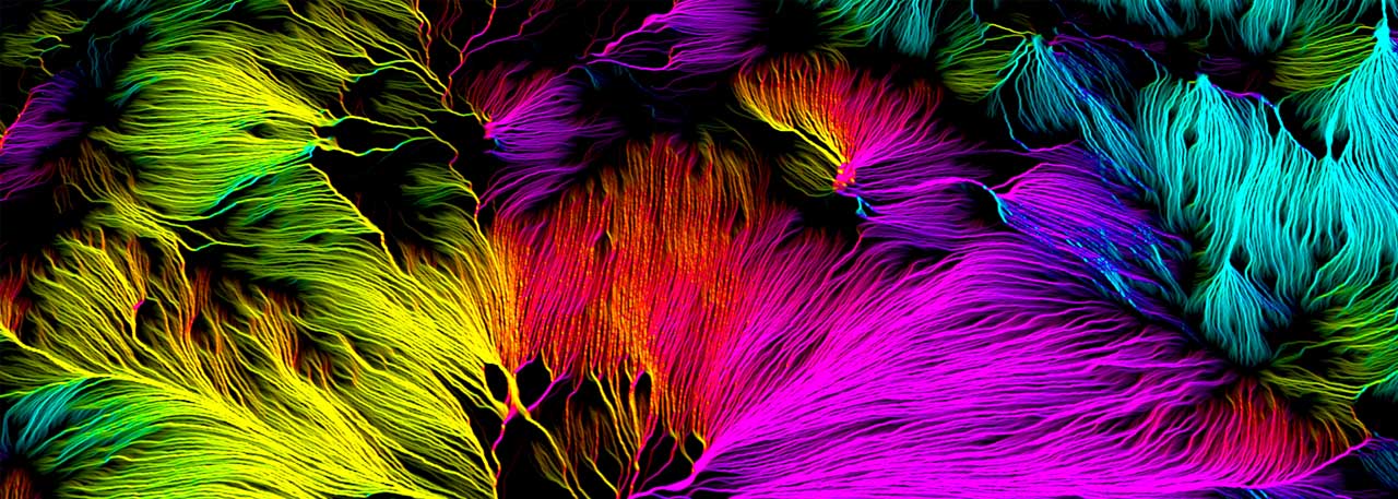
-
The
 HeightField to Mono COP and
  Mono to HeightField COP nodes convert between grayscale and heightfield layers.
 -
The
 HeightField Transform 2D COP scales, translates, and rotates the terrain in 2D.
 -
The
 HeightField Transform 3D COP scales, translates, and rotates the terrain in 3D.
 -
The
 HeightField Project COP projects geometry onto a heightfield layer.
 -
The
 HeightField Clip COP limits height values to a certain minimum and/or maximum.
 -
The
 HeightField Visualize COP adds Tint settings and supports converting a cable of input layers into 2D volumes. This node can convert heightfields into geometry for SOPs.
 -
New workflows for texturing terrains in Copernicus:
-
New 3D Output flag workflow streamlines previewing layers onto heightfields. See Terrain colors for how to use the 3D output flag when building terrains in Copernicus.
-
New catalog of ready-to-use terrain color ramps for generating textures. The
 /
/ Presets button displays the preset configurations in a list gallery, with visual representations. Click the
  Open Gallery button to open the new Ramp Presets window gallery and navigate to the Terrain folder.
 -
The Preview Material COP adds Metadata to its Signature for exporting textured heightfields to Solaris as a displacement grid.
-
-
Copernicus adds new recipes for building colored heightfields. These are available in the ⇥ Tab menu:
-
New
 Neural Terrain Generate SOP allows you to run inference with custom or downloadable ML models. It contains a recipe to train custom ONNX models.
 -
Improved quality and performance of heightfields in the viewport:
-
Better wireframes
-
Support for wire-over shading
-
Raytracing

-