PDG FOR INDIE GAMEDEV | SECTION 5 | CREATE GAMEPLAY AREAS
1 | Introduction
In this new section we are going to look at how we can begin to empower level designers to contribute to the procedural system. We to make it so they can define areas of the terrain that are of a certain type. So in this lecture we are going to review the concepts we are going to cover throughout the section.
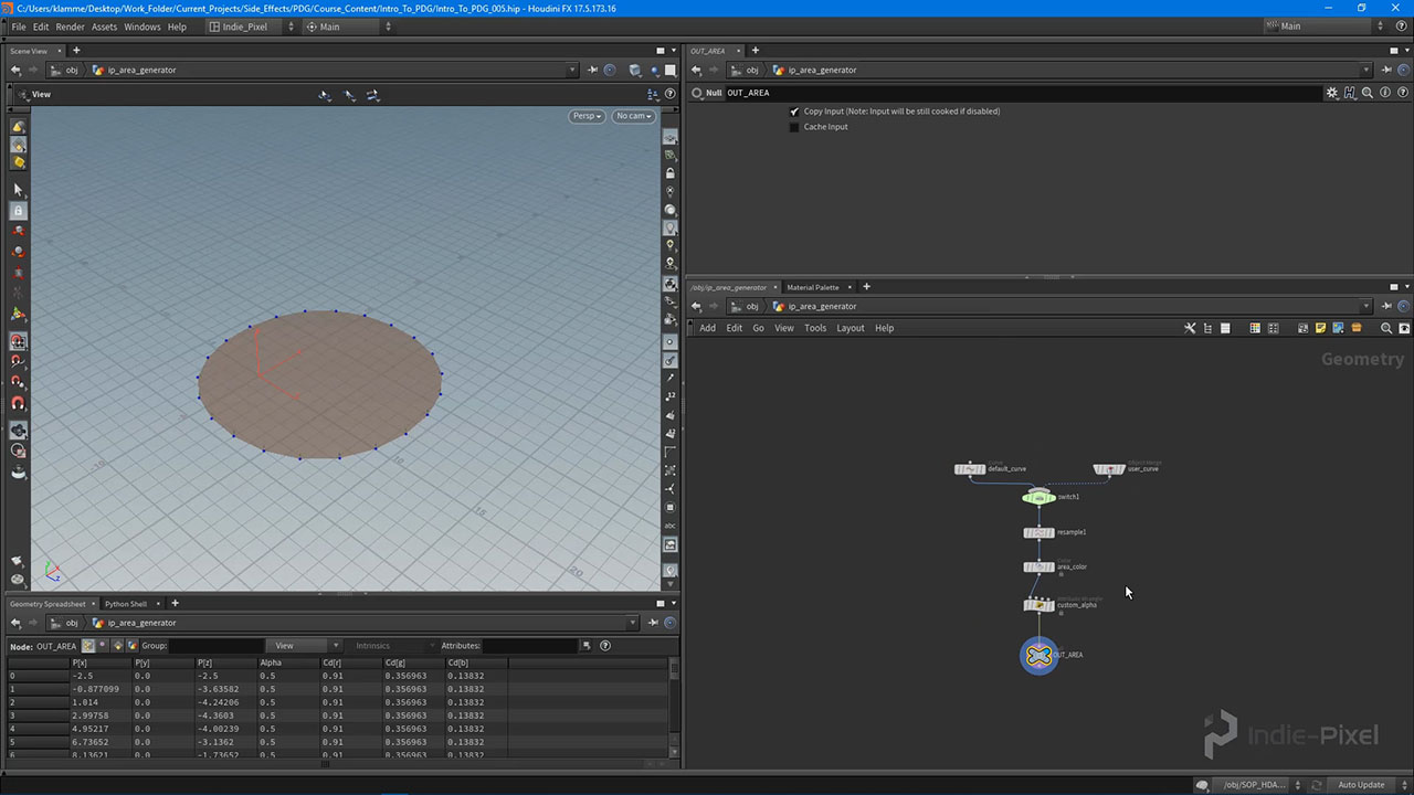
2 | Developing the Area HDA
We want to give the level designers the ability to interact with our Procedural Level building system. To do this we need to create a set of tools that allows them to define certain types of data. In this case we want to allow them to define areas in the terrain that are a meadow type. We will build this tool in this lecture.
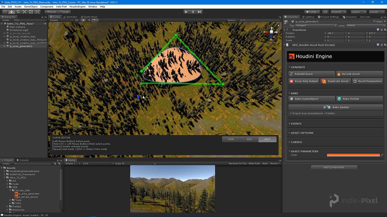
3 | Creating Areas in Unity
With our Area tool completed let’s test this out in Unity to see if it is working well enough to define our meadow areas.

4 | Understanding Multi-Parms
In order for us to be able to allow level designers to import as many areas as they like, we need to set up a more dynamic way of retrieving geometry. This is where the Multi-Parm will help us out. In this lecture we are going to learn how to use the Multi-Parm property type to set up our dynamic geometry import system.
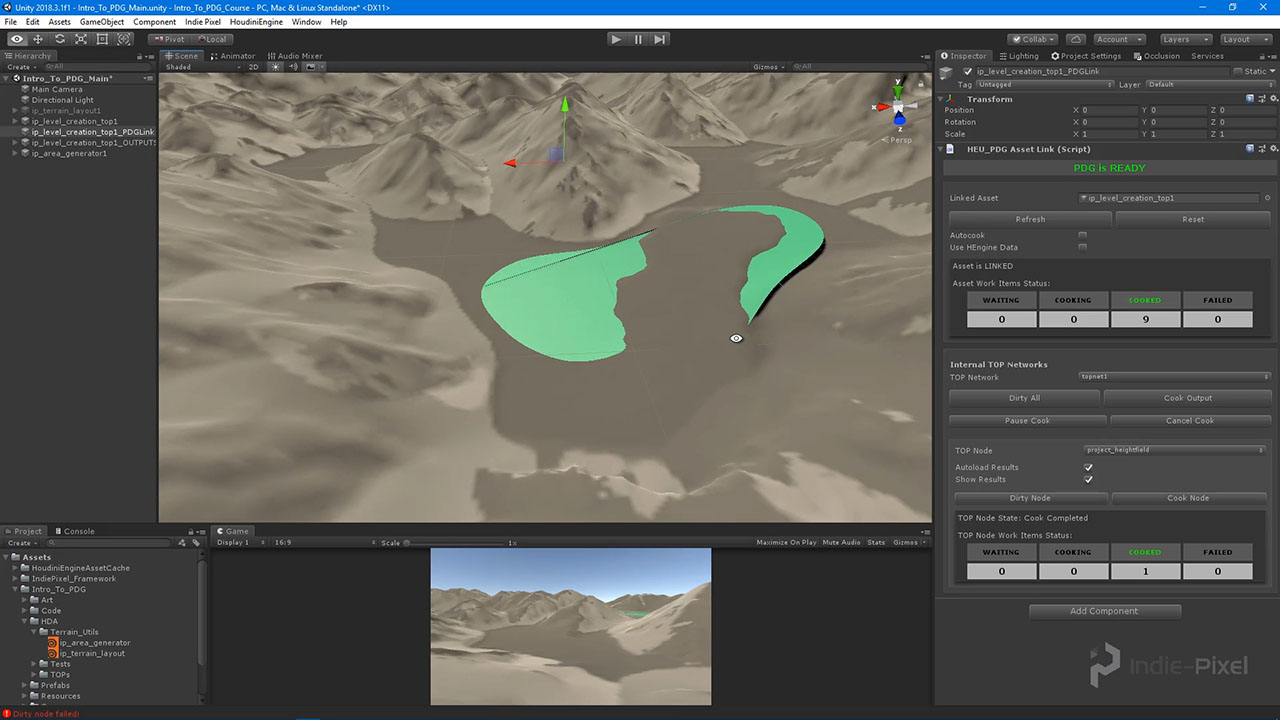
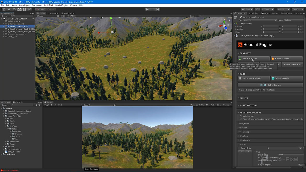
5 | Deforming the Terrain with Area Geo
Now that we have the ability to draw out a mesh that defines an area, let’s start to look at ways in which we can use this information in our Procedural Systems. To begin we will use the area geometry to deform the terrain.
6 | Clear Foliage from Areas
Another place we can use the user defined area geometry, is the Foliage. We want to clear the forest Foliage from the area and learn how to replace it with a meadow type of foliage. But first let’s take a look at how to clear how the foliage where the area is placed.
7 | Adding Specific Foliage to Areas
Now that we have the Area clear of the main foliage, let’s look at how we can use the Area geometry to scatter our own custom foliage. This will open up so many possibilities for your level systems as you will see how to customize what data gets created for certain types of areas.
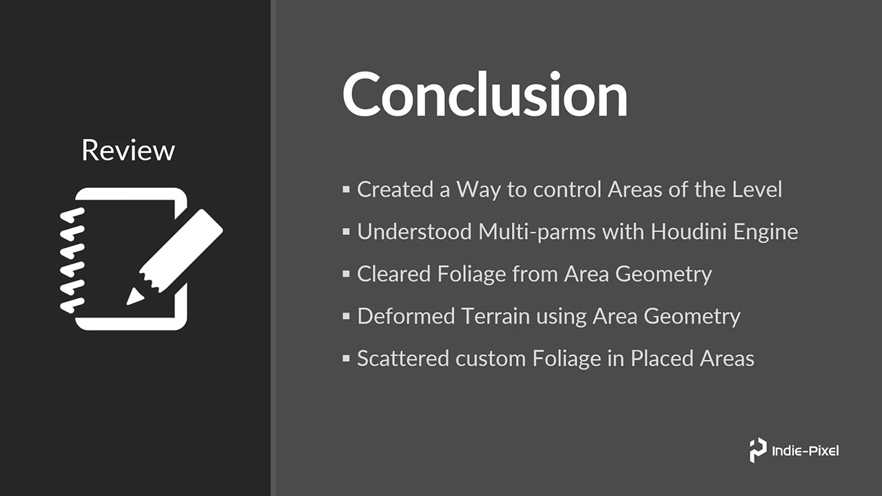
8 | Conclusion
Let’s do a quick review of all the topics we covered and some other items you could add to the system we just created.
CREATED BY

COMMENTS
Petoncle56 6 years, 8 months ago |
Great work on these vidéos, thank you very much for it.
teotigraphixllc 6 years, 8 months ago |
Nice Kenny, the air plane and heli series terrain... :) This was great, need the roads and bridges. :)
EricSheng 6 years, 8 months ago |
Wait for more!
javadgholami1369 5 years, 4 months ago |
I'm really curious about that is how to make seamless terrain for big map environment ( like so we have a map with the size of 48 km * 48 km
I see in one the Houdini showcase ( https://www.youtube.com/watch?v=NfizT369g60&t=707s) for the FarCry game (in the 5:00)
I don't understand what they do so the terrain intersection match together so please tell me ( if anyone know) how I can make this kind of feature
Please log in to leave a comment.