LHR flightpaths
Apr 08, 2024
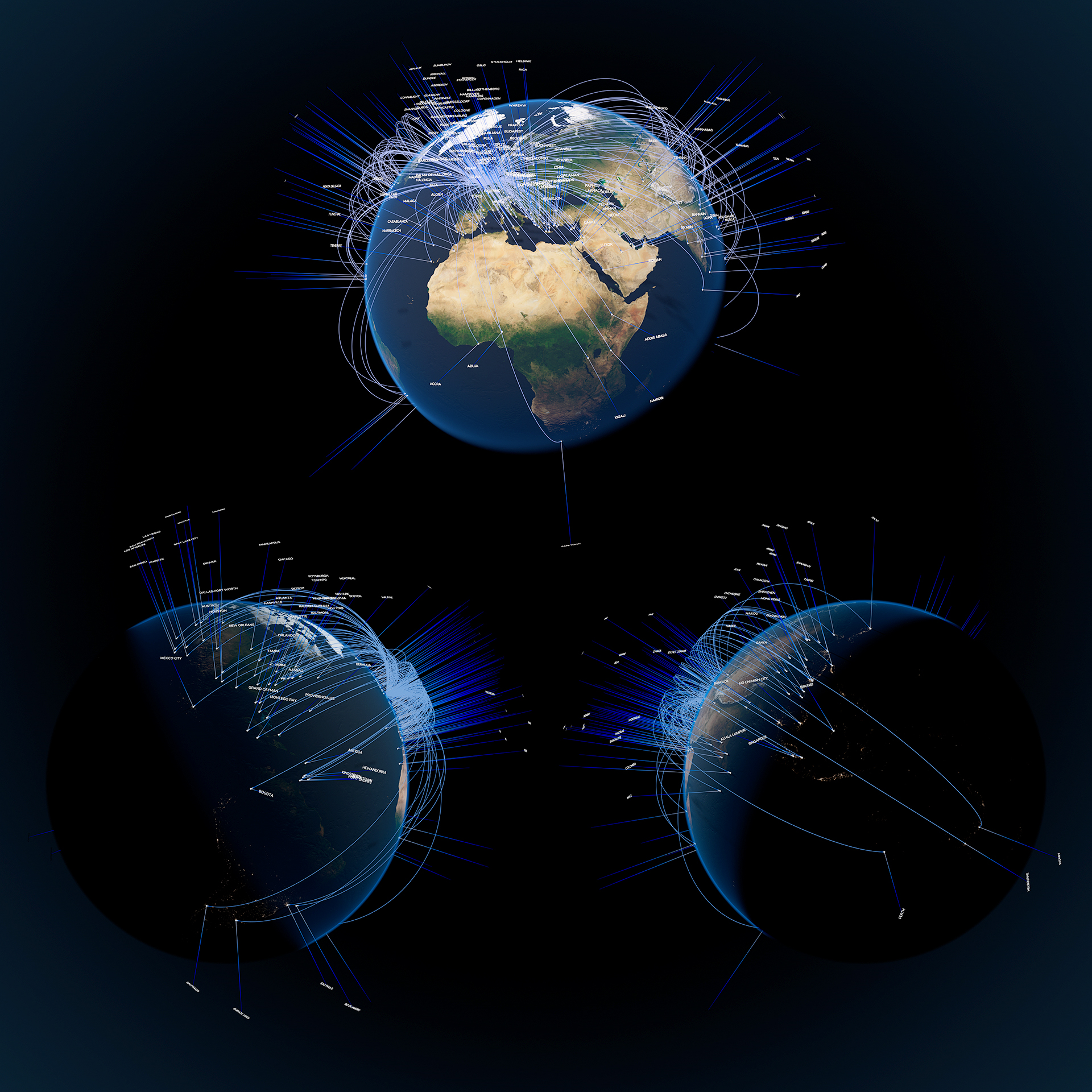
3D CGI visualisation of direct destinations from London Heathrow airport.
Data was compiled for LHR and each destination airport, including airport code, name, city, latitude and longitude. This was imported with a table import SOP and used to pinpoint each destination on the globe. The real challenge lay in creating a for-loop system to get each ‘aircraft’ to reach it’s destination with a time delay sorted by it’s flight distance from London. You’ll notice the nearest destinations are reached and labelled first.
The whole system is fully art directable – and of course re-usable with new data.

COMMENTS
Please log in to leave a comment.